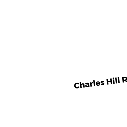
0 REAR CHARLES HILL RD
Owner Information
PRATT RICHARD A
55 CHARLES HILL
HOLYOKE, MA 01040


Property Details
0 REAR CHARLES HILL RD is classified as a Undevelopable Residential Land.
0 REAR CHARLES HILL RD is valued at $6,900. The land is valued at $6,900 and the structures are valued at $0.
This property is in Zone RA. Confirm with local Zoning Board authorities to ensure there are no overlays or other easements on this property.
0 REAR CHARLES HILL RD was last sold on Thursday, December 23, 1982 for $0.
Assessment data from fiscal year 2022.
Flood Data
According to the FEMA National Flood Hazard Layer, this property does not appear to be in a flood zone. It may also be in an area not yet reviewed. Nonetheless, confirm this information prior to taking any action.
To view the flood hazards around this property, create a FEMA "Firmette" Map of the area around 0 REAR CHARLES HILL RD.
Broadband Internet Providers
| Provider | Type | Bandwidth (mbps) | |
|---|---|---|---|
| VSAT Systems, LLC. | Satellite | 2 | 1 |
| HughesNet | Satellite | 25 | 3 |
| Viasat Inc | Satellite | 100 | 3 |
| Verizon New England Inc. | DSL | 5 | 0 |
| Comcast | Cable | 1000 | 35 |
| GCI Communication Corp. | Satellite | 0 | 0 |
Broadband service provider data from December 2020.
Adjacent Properties
- 0 REAR CHARLES HILL RD
Undevelopable Residential Land owned by 37 CHARLES HILL ROAD TRUST - 0 REAR CHARLES HILL RD
Undevelopable Residential Land owned by PRATT RICHARD A - 55 CHARLES HILL RD
Multiple Houses on one parcel owned by PRATT RICHARD A - 49 CHARLES HILL RD
Single Family Residential owned by MYSLIWIEC 2010 IRREVOCABLE TRUST - 43 CHARLES HILL RD
Single Family Residential owned by MCCARTHY EDWARD M - 0 WESTFIELD RD
Transportation Authority owned by HOLYOKE CITY OF